View Hoover High Cahaba Trail in a larger map
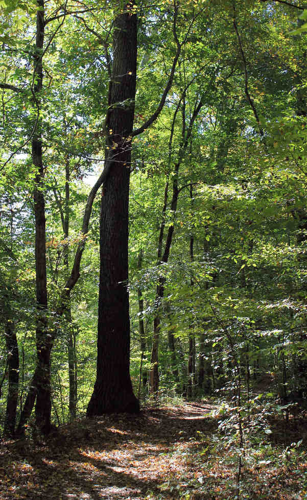
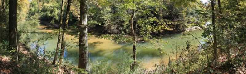
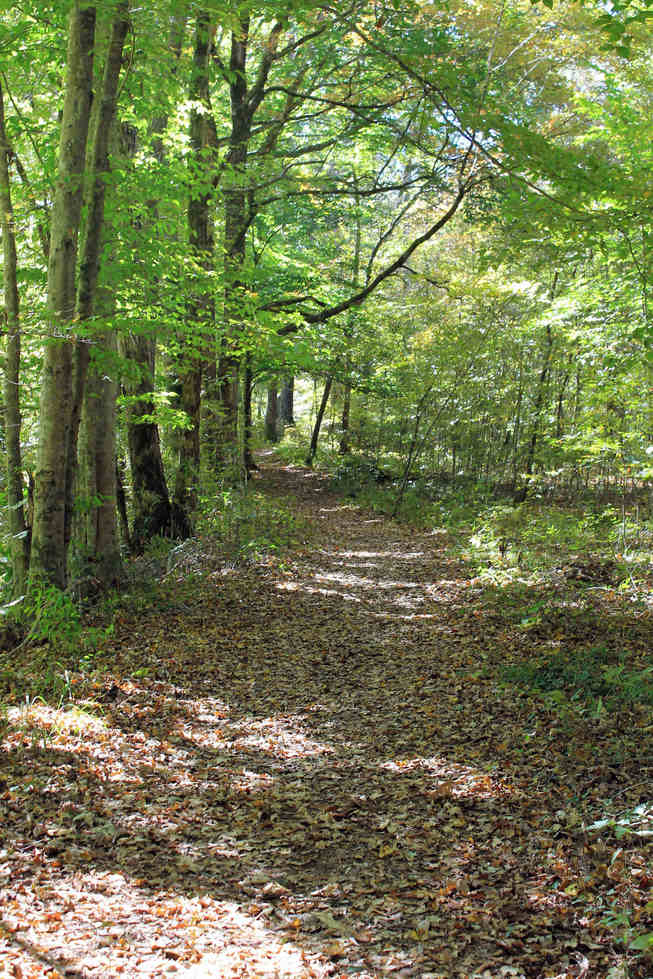
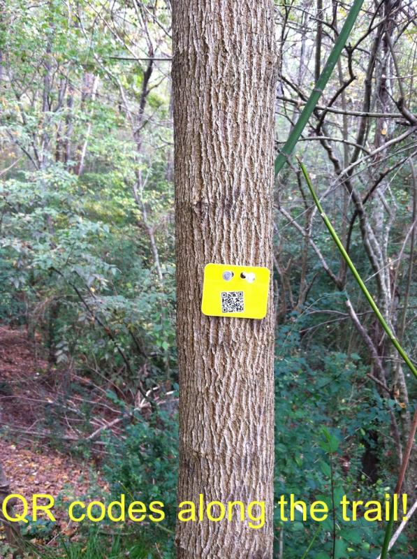
This is the first creation of a map of the trails along the Cahaba River behind Hoover High School. We have created this map using Google Earth; marking study areas, points of interest, and various other waypoints along the trail. Click them and see for yourself! Then find them on the actual trail! Below are more pictures of our trail and of noted points on this map.
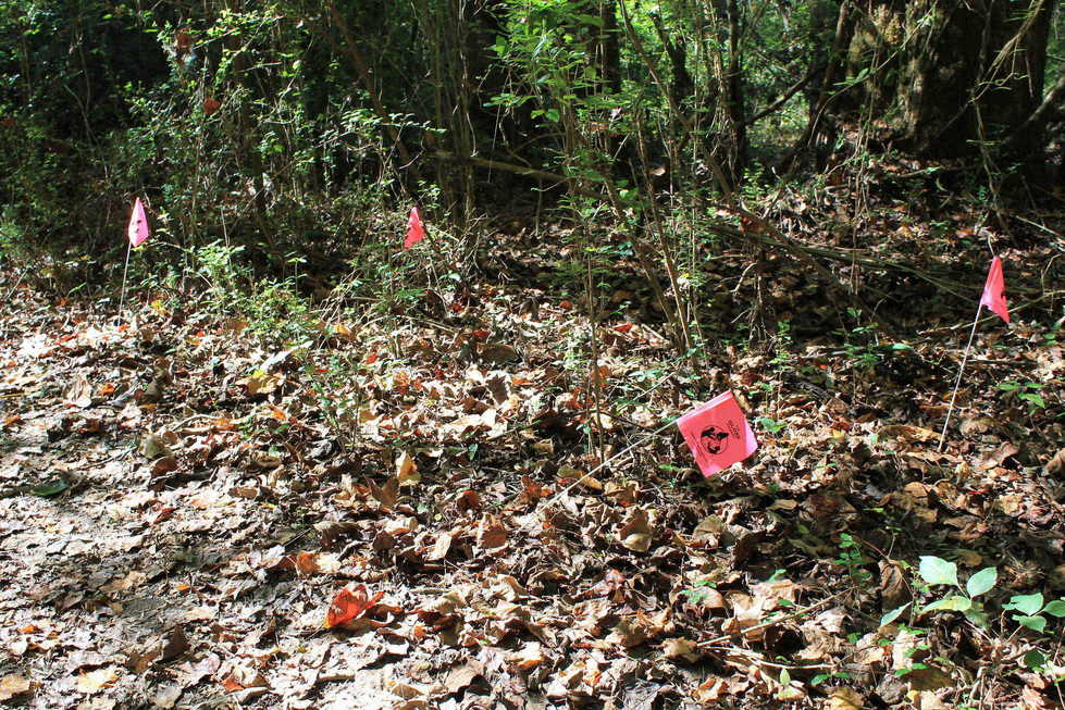
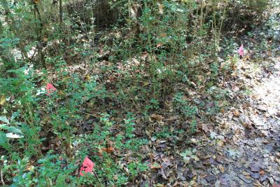
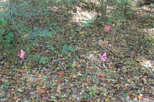
"Privet's Impact on Biodiversity" study areas along the transect.